Visual Assessments & Site Monitoring
Our visual assessment services provide professional aerial and ground-based imagery to document sites, monitor progress, and capture overall property conditions over time. Designed for construction teams, developers, property managers, and commercial clients, these services deliver clear, consistent visuals that support project updates, planning, and communication with stakeholders. From progress monitoring to property and land overviews, Prime Signature Visuals offers reliable visual documentation without interpretation or analysis—allowing clients and professionals to make informed decisions with confidence.
Clear visual documentation to track progress, assess conditions, and support informed decisions.
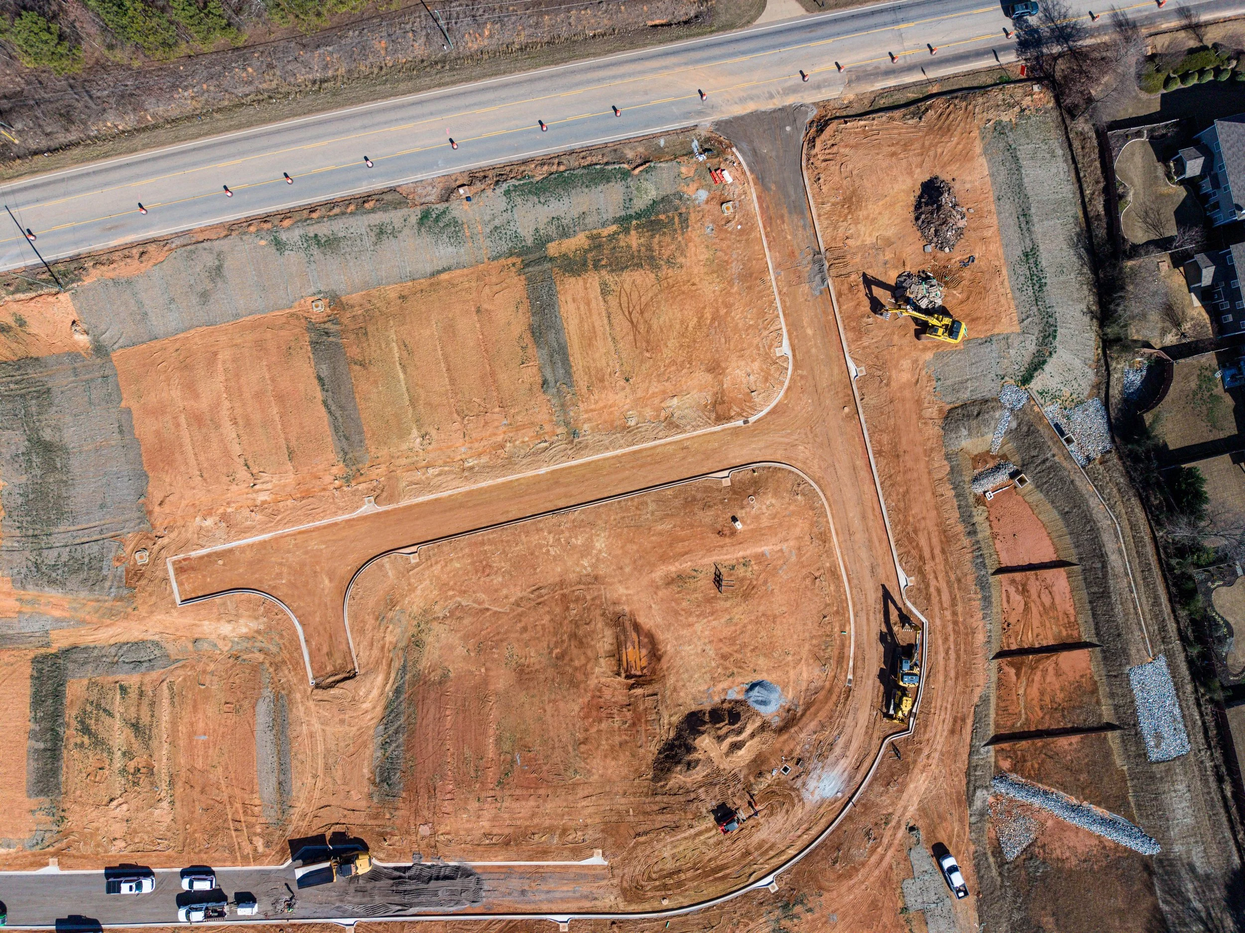
Progress and site monitoring services deliver consistent visual documentation throughout the lifecycle of a project. Using aerial and ground-based imagery, we capture site overviews and key milestones to track progress over time. These visuals are ideal for project updates, stakeholder reporting, and maintaining a clear visual record without disrupting on-site operations.
Progress & Site Monitoring

Structural and visual assessments focus on documenting visible conditions of structures and elevated elements such as parking decks, retaining walls, walkways, and building exteriors. Our imagery provides clear visual context to support evaluations by engineers, inspectors, or project teams. This service emphasizes documentation and observation rather than analysis, helping clients communicate conditions effectively.
Structural & Visual Assessments
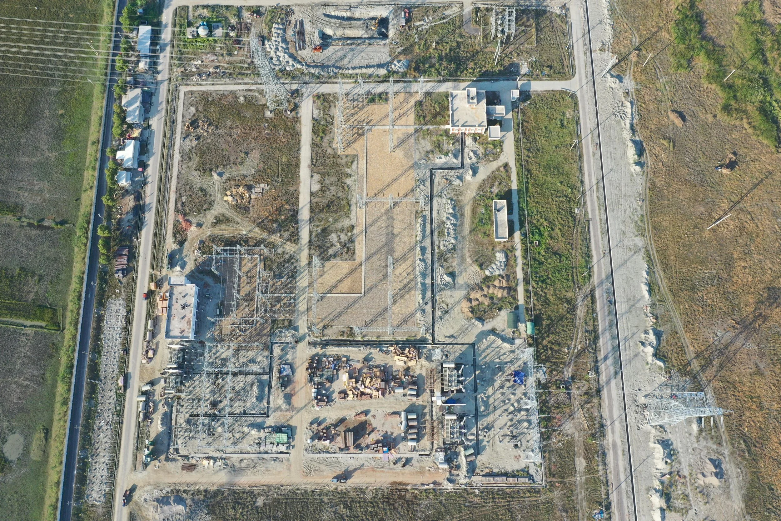
Property and land assessments provide comprehensive visual overviews of sites and surrounding areas. These services capture access routes, layout, proximity to neighboring features, drainage patterns, and overall site context. Ideal for planning, development, and due diligence, this documentation helps clients better understand properties and communicate key details with partners or investors.
Property & Land Assessments
Visual Assessments – Scope & Pricing
Visual assessment services are designed to support project documentation, progress monitoring, and property or site overviews through consistent aerial and ground-based imagery. Final scope and pricing are tailored based on project size, duration, frequency of capture, and specific documentation requirements.
Visual assessment services are limited to non-interpretive visual documentation and do not include engineering judgment, compliance verification, or technical analysis. All imagery is provided for informational and communication purposes only and is intended to complement professional evaluation by the appropriate parties.